
World Map for Download – Free Coloring and Printing Pages (PDF)
On this page, you can download world maps and Israel maps for free printing – coloring pages for children, support materials for teachers and kindergarten teachers, and geography activities for the family around the world of travel.
All files are in PDF format, suitable for printing on a home printer or at a copy center, and may be freely used at home, in kindergarten, and in the classroom.
How does it work?
- Choose a suitable category – world map, Israel map, coloring pages for children, and more.
- לוחצים על כפתור ה-PDF שתרצו לפתוח.
- The PDF opens in a new tab – you can view it, print it, or save it to your computer/mobile device.
- מדפיסים על דפי A4 / A3 (ולפי הצורך גם גדלים גדולים יותר).
Important note: there is no need to download all the files at once – choose only the world map or Israel map that suits your activity, and then print as many copies as you want.

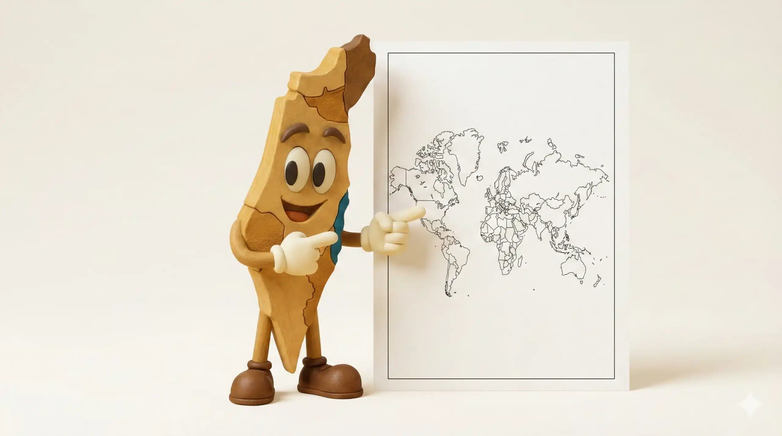
Hi, I’m Mafsik. I’m here to help children get to know the world and Israel through maps, coloring, and activities. Parents and teachers choose the files – and the children enjoy the learning.
Download Categories – Free Maps and Coloring Pages
מפת ישראל – קווי מתאר
Simple outline versions of the Israel map, in a size suitable for printing at home or in the classroom – excellent for coloring and geography practice.
- Israel Map – Outline 1 (Black and White).
- Israel Map – Outline 2 (Black and White).
- Mafsik coloring page in the shape of the Israel map.
Mafsik – Coloring Page
World Map – Coloring Pages for Children
A world map in a simple and clear format for children – large areas for coloring, perfect for activities at home, in kindergarten, and in the classroom.
- World Map for Children – Basic Coloring Page (Kids 1).
- World Map for Children – Additional Practice Version (Kids 2).
World Map – Color Versions
Colorful world maps – suitable for hanging on the wall, for craft projects, and for learning about continents and countries.
- Color World Map – Version 1.
- Color World Map – Version 2.
- Color World Map – Version 3.
World Map – Color PDF 3
World Map – Black-and-White Outlines
World maps in black-and-white outlines – an excellent base for coloring, tests, and exercises in identifying countries and continents.
- World Map – Outline 1.
- World Map – Outline 2.
- World Map – Outline 3.
- מפת עולם – קווי מתאר 4.
Outlines – PDF 4
Tips for Printing and Working with Children
- For printing on a home printer, it is recommended to use slightly thicker paper if coloring with markers.
- You can print in A4 size for an individual activity, or A3 for a shared activity with several children together.
- Keep the colored maps and stick them on a board, the children’s room door, or in the classroom.
- Add next to the maps a list of countries you have visited or would like to visit in the future.
After the Coloring Pages – A Wooden World Map for the Wall
Many parents and teachers start with a printable world map and discover that children fall in love with maps and travel. The next step is to turn learning into part of the home or classroom design with a wooden world map for wall hanging by MAPS Systems.
- עבודת יד מעץ ליבנה איכותי.
- Tahor, Classic, and Premium models – according to the level of detail you want.
- Suitable for the living room, children’s room, playroom, classroom, or office.
Frequently Asked Questions About the Downloadable World Map
Is the download really free?
Yes. All PDF files on this page are freely available for download for use at home, in kindergarten, and in the classroom – with no payment and no registration.
Is it allowed to use the materials in a classroom or group?
Absolutely. You may print them for an entire class, a youth group, or a club. We would appreciate it if you shared a small credit to MAPS Systems.
Is commercial use of the files allowed?
The use of the files is intended for home, kindergartens, and classrooms. Commercial use (selling the files or incorporating them into a commercial product) is not permitted without our written approval.
Are there more free materials?
Later on, we will update this page with additional coloring pages and new maps. It is recommended to save the page to your favorites and visit again.
More Ideas for Using the Downloadable World Map
After printing the downloadable world map – free printable coloring pages (PDF), you can turn the pages into a family or classroom activity: color together according to the countries you have visited, отмечать места, куда вы хотите поехать в будущем, или добавлять детские наклейки и личные символы.
Teachers and kindergarten teachers can incorporate the maps into geography lessons, holidays, and world cultures – choose a different continent each time, talk about countries and flags, and hang up the completed coloring pages on the classroom board. At home, the maps can become an inspiration wall in the children’s room, constantly reminding of the love of travel and discovery.
It is recommended to return to this page from time to time – we will add new maps here, different versions of the world map, themed coloring pages and more ideas for learning through play and creativity.


